Tracking Systems
What are tracking systems?
Tracking systems display the location of the tracker on receiving devices such as computers and mobile phones. Therefore, trackers can be used to monitor the location and progress of groups on expeditions.
However, great care must be taken to ensure they do not compromise either the number of supervising adults or the team’s feeling of isolation and self-reliance.
Within the context of a DofE expedition, GPS should be thought of as additional safety equipment, rather than a navigation tool.
A tracking device can be placed on a participant’s rucksack. This can transmit location information via the satellite network, then to secure servers and finally to receivers, such as mobile phones or computers.
Supervisors, Assessors, Leaders, Licensed Organisations and emergency contacts can then monitor the team’s location and progress.
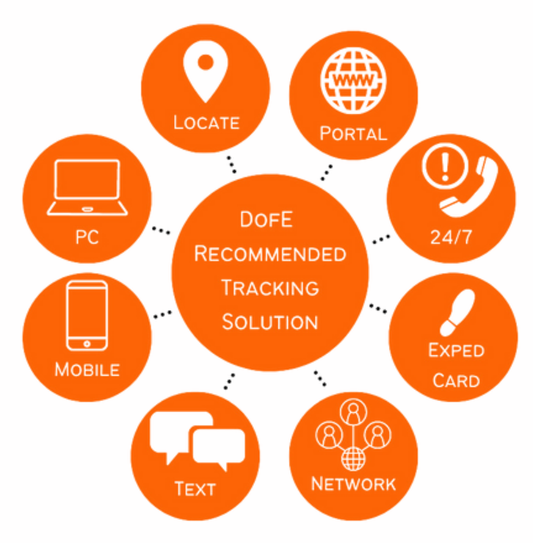
A complete integrated solution will provide base-control, in-field and remote access to tracking data via a secure network.
Most systems have a ‘help’ button or (editable) emergency phone numbers that allow groups to call for help in the event of an emergency.
Using tracking systems can be an effective way of supporting team safety and keeping Leaders informed on groups’ locations.
Tracking systems are a useful safety aid, but they can also be used to identify navigation mistakes and evaluate performance feedback to participants. When used correctly, it can be a valuable teaching tool.

The DofE recommends 3S Group, a Geographical Information Systems (GIS) company that has developed market-leading technology. Their range of products is compatible with the eDofE Mapping system, offering a comprehensive and integrated solution. The Police, MOD and Search & Rescue Teams have all adopted the technology, as well as hundreds of schools.
The 3S Group solution is now available on a ‘pay-as-you-use’ basis, substantially reducing entry and running costs. You can use the solution for as little as one month or for many years.

- Peace of mind for DofE Leaders and Assessors.
- Remote supervision allows Leaders/Assessors to supervise from afar, allowing greater autonomy for participants on their expeditions.
- Tracking of multiple groups in multiple locations.
- Tracker charges are fully flexible, reducing costs of entry and use.
- Fully comprehensive and integrated control and backup solutions.
- Trusted by many existing DofE groups.
- Compatible with the eDofE Mapping system to permit the transfer of data.
- Cost-effective technological solutions to aid effective management.
- 24/7 back-up and emergency support.
- Save on fuel due to a known location.
Care must be taken to work out how Supervisors and Assessors will have access to the tracking information while supporting expeditions.
Everyone involved must be trained in using the tracking device and accompanying software.
Tracking systems that rely upon mobile phone networks should not be used as reception is unreliable in remote areas.
Correct use and reading of tracking data provides speed, location and messages, allowing for clearer key performance data. However, regular interfaces with leaders/supervisors are still essential.
Tracking systems are not there to stop teams from making mistakes but are there to help if a situation deteriorates or if help is needed. Tracking still allows teams to get lost and correct their navigation errors, but tracking permits the leader to know their location and provide support if necessary.
While the DofE allows groups to use tracking systems to support the safety of their expedition teams, it’s not a requirement, nor is it a substitute for the required emergency training and competent supervision.


